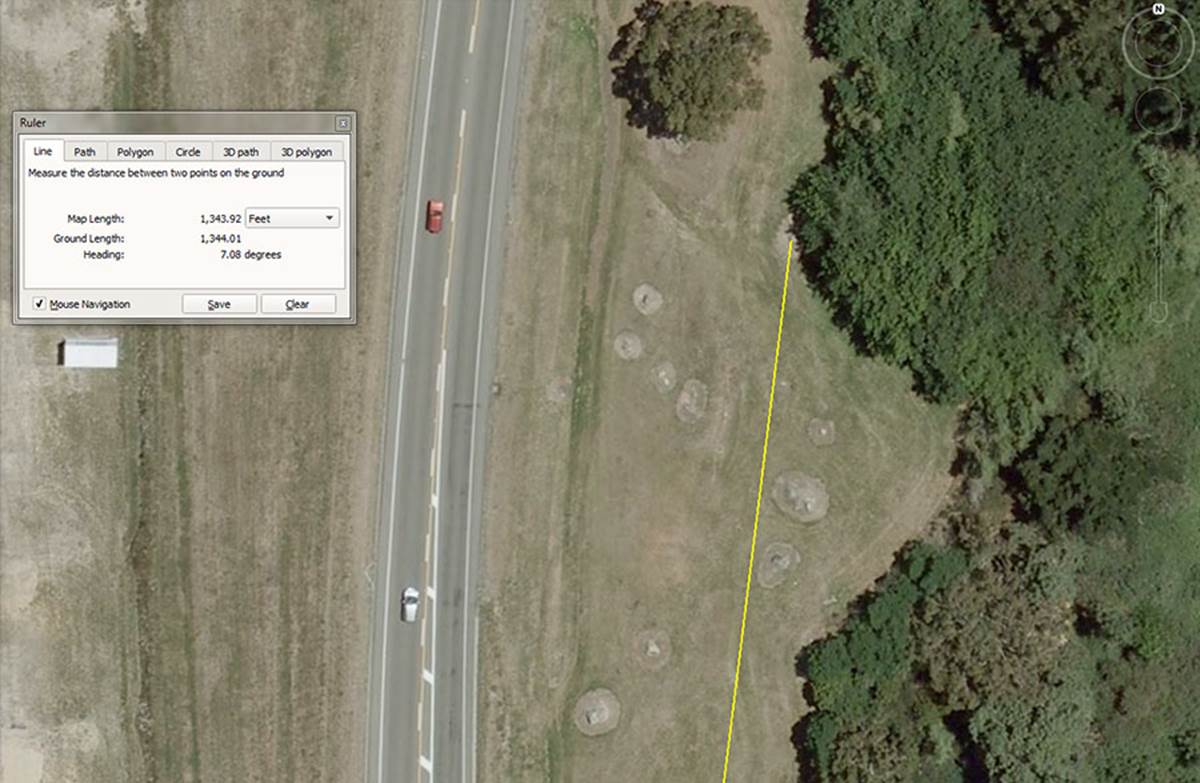
SITE 2 – POSITION 11.

This impressive looking obelisk now lies on its side under trees, but can be detected in this 10-year old Google Earth image. The outer marker sits 1344-feet from the hubstone on a coded angle of 7.0875-degrees.
The 1344-feet value is navigational 134.4-feet would be 1/45th of 1-minute of equatorial arc (6048-feet).
The angle value is in homage to the 708.75-feet side length of the Khafre Pyramid (Egypt's Pyramid of the moon). The sum of 708.75-days would be 2 lunar years.
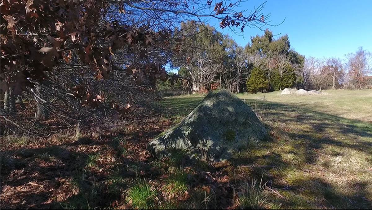
Yet another very impressive obelisk lies under trees nearby, but is totally obscured in the Google Earth image.
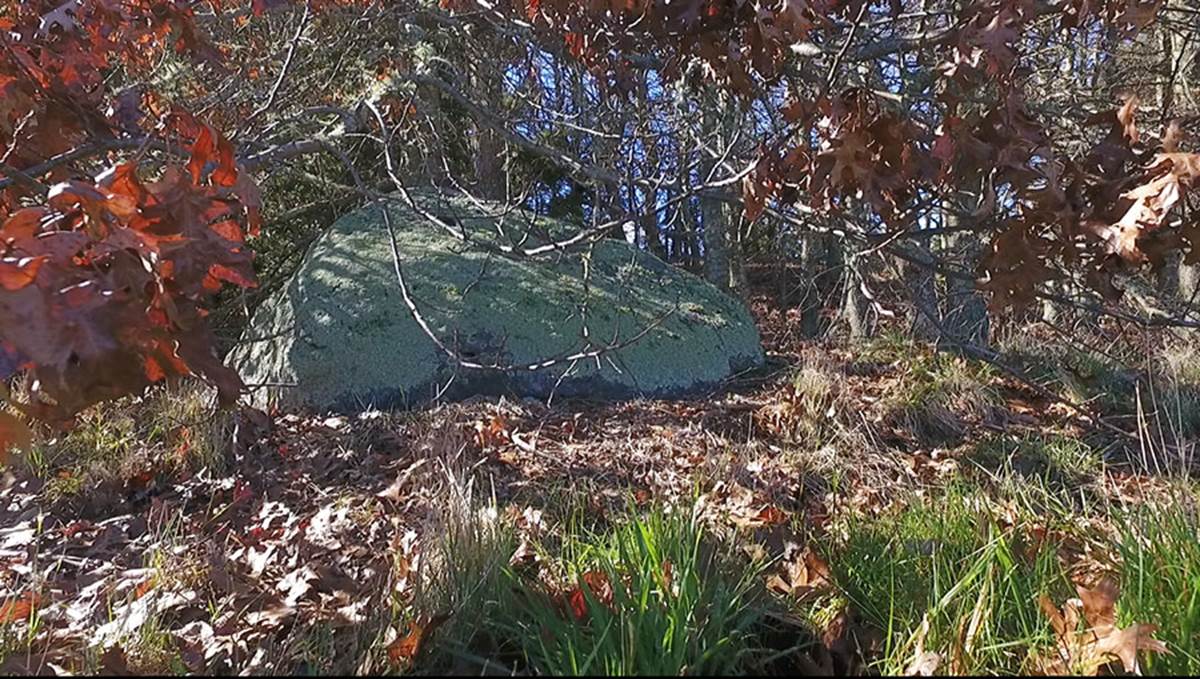
This large shark-fin shaped obelisk sits under the canopy of trees beyond site-2 position number 11. It possibly carries the ancient distance code of 1306.8-feet, but we need an accurate GPS fix to truly ascertain the code of position.
SITE 2 – POSITION 12.

This outer-marker sits 1375-feet from the hubstone on an angle of 5-degrees.
A progression based upon 1375 goes:
1375, 2750, 4125, 5500, 6875, 8250, ... 11000, ... 16500, etc.,
This progression provides values related to the British standard league, which was anciently 16500-feet or 3.125-miles of 5280-feet.
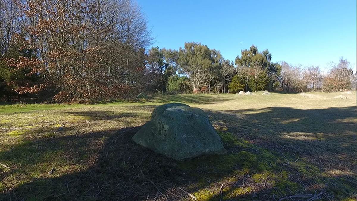
SITE 2 – POSITION 13.
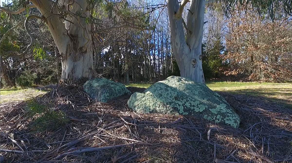
These obelisks sit under eucalyptus trees just beyond position 12. One of their intended length codes was probably 1417.5-feet from the hubstone.
More obscured positions.
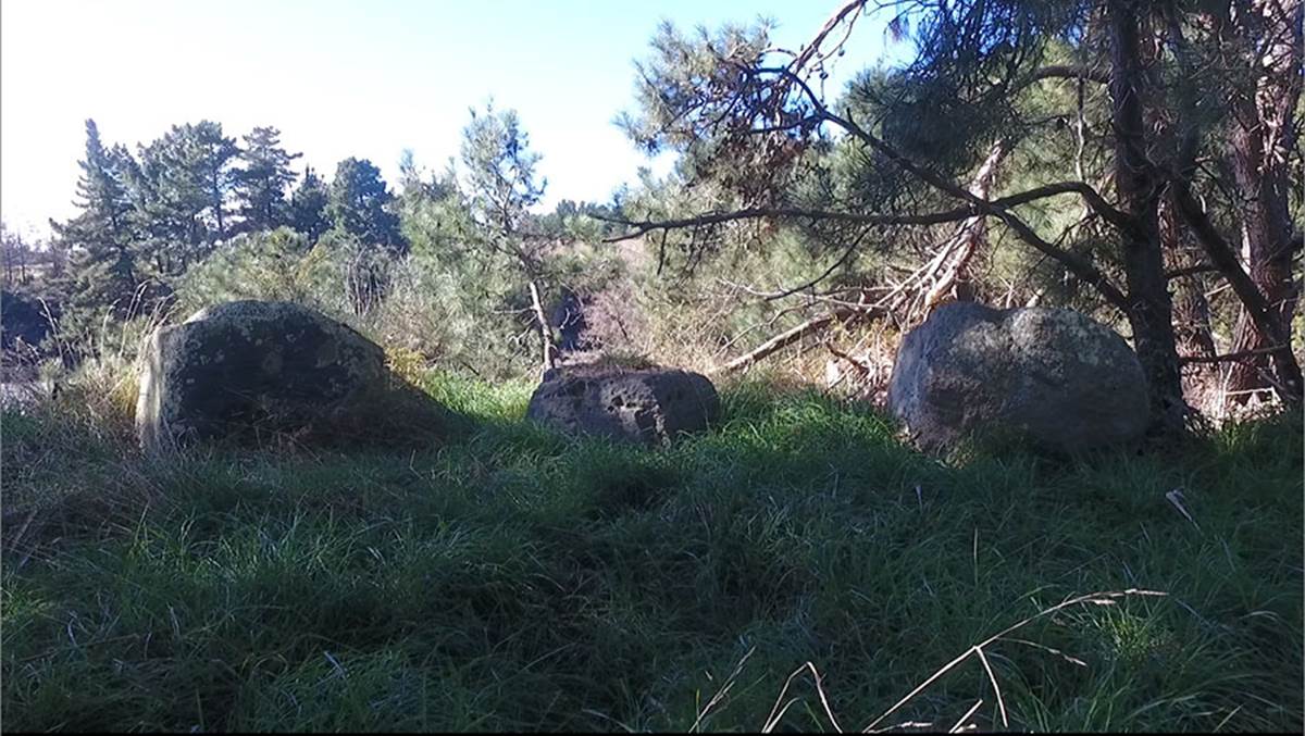
These 3 impressive boulders, mottled in tree shadows and sunlight, are obscured from view in the Google Earth image. Again, we will be obliged to return with sophisticated GPS equipment in order to get a precise coordinate fix and work out the positional codes for these large, purpose-placed boulders. There are a number of similar markers under the tree canopy, the positions of which remain unrecorded.